Snorkeling
The best snorkeling in Barbados: wrecks, reefs and Sargassum
Six shipwrecks in one bay, the Caribbean's oldest legislated marine reserve, and a Sargassum season that decides where you get in. Which sites, which months.
We earn a commission on purchases made through links on this page, at no extra cost to you. It never affects which products we recommend.
On this page
- Where the snorkeling is, and where it isn’t
- Carlisle Bay: six wrecks, and the three you can actually see
- Folkestone Marine Reserve
- Paynes Bay, Mullins and the quiet north-west
- Dover Beach and the south coast
- Sargassum, and when it lands
- What the reef looks like after the bleaching
- When to go, month by month
- Where to stay
- What to bring
- Frequently asked questions
Barbados is not a reef island, and going expecting one is the mistake. It is a limestone island sitting 100 miles out into the Atlantic beyond the volcanic arc, and its fringing reef is narrow and shallow rather than the wall-and-drop-off you get at Bonaire or Roatán.
What it has instead suits a snorkeler better. Six shipwrecks lie in one sheltered bay a few minutes from the cruise terminal, three of them shallow enough to see properly with your face in the water. The whole west coast is calm enough to walk into from the sand. And the island’s only legislated marine protected area is free to enter, with lifeguards on it.
There are two decisions to get right: which coast you are on, and which month you come. The second one now matters more than it used to, and that is what most of the pages written about this island still miss.
Where the snorkeling is, and where it isn’t
Barbados is 21 miles long and 14 wide, so you can drive between any two sites on this page inside an hour. The island divides cleanly into three, and the division decides everything.
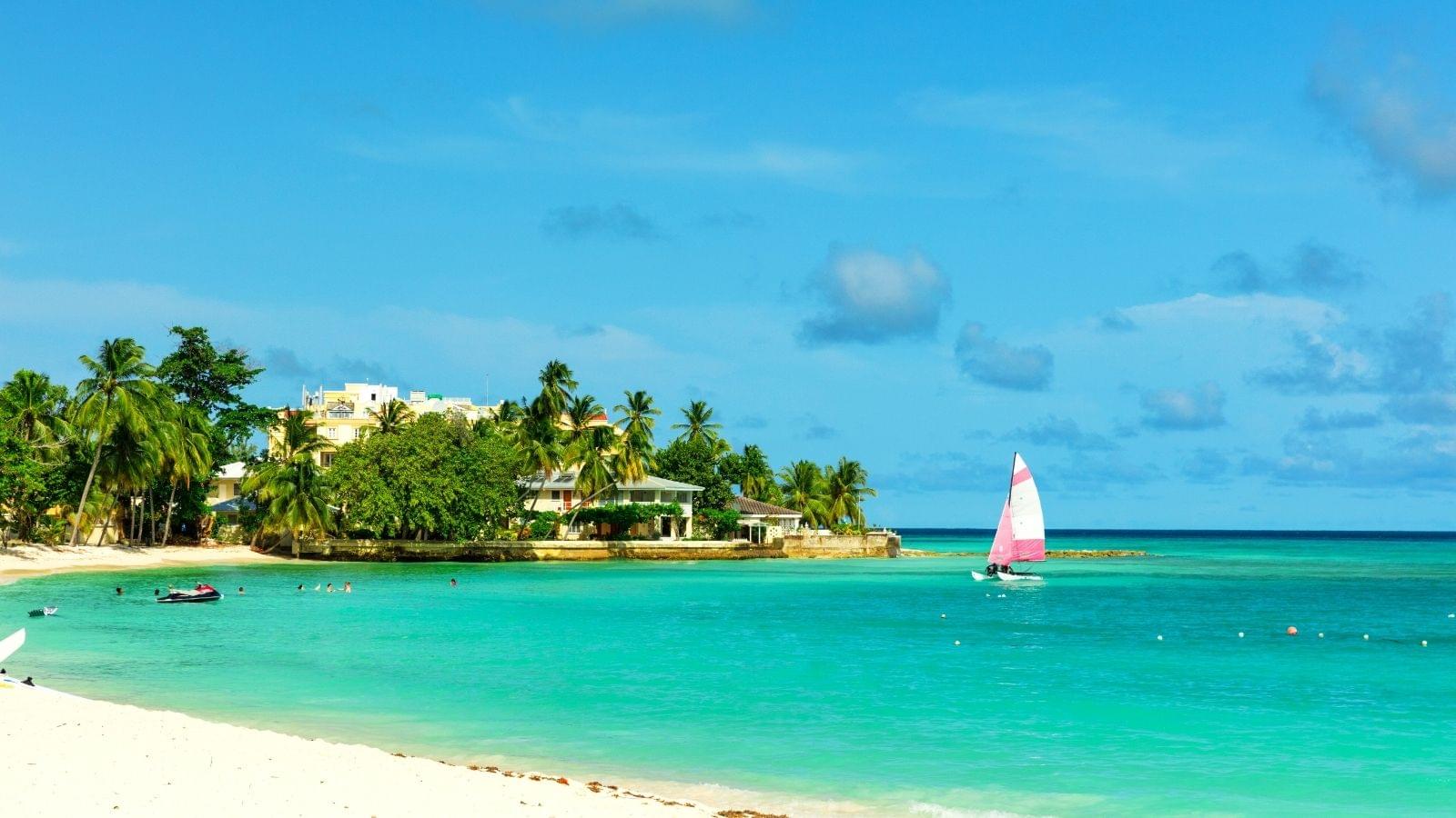
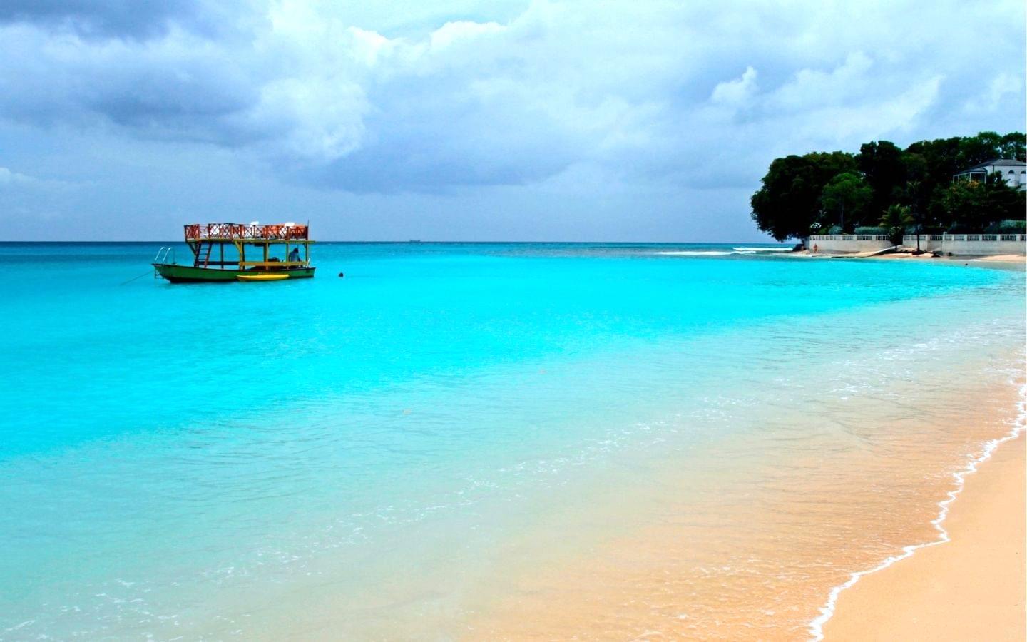
The west coast, from Bridgetown north through Paynes Bay, Holetown, Mullins and Speightstown, faces the Caribbean Sea. It is sheltered by the island itself from the north-easterly trade winds, the water is usually glassy, and every site worth snorkeling from shore is on it. This is the “Platinum Coast” of the hotel brochures, and for once the marketing and the snorkeling point the same way.
The south coast, from Carlisle Bay round through St Lawrence Gap to Oistins, is windier and choppier but has no dangerous current at the main beaches. It is a compromise: better nightlife and cheaper hotels, more wind chop on the water.
The east coast — Bathsheba, the Soup Bowl, the whole Atlantic side — is not a snorkeling coast. It is a surf coast with heavy swell, rip currents and rock. Go and look at it, because it is spectacular, but stay out of the water beyond the sheltered rock pools at Bathsheba.
That geography also sets the Sargassum pattern, which is the single most useful thing to know before you book.
Carlisle Bay: six wrecks, and the three you can actually see
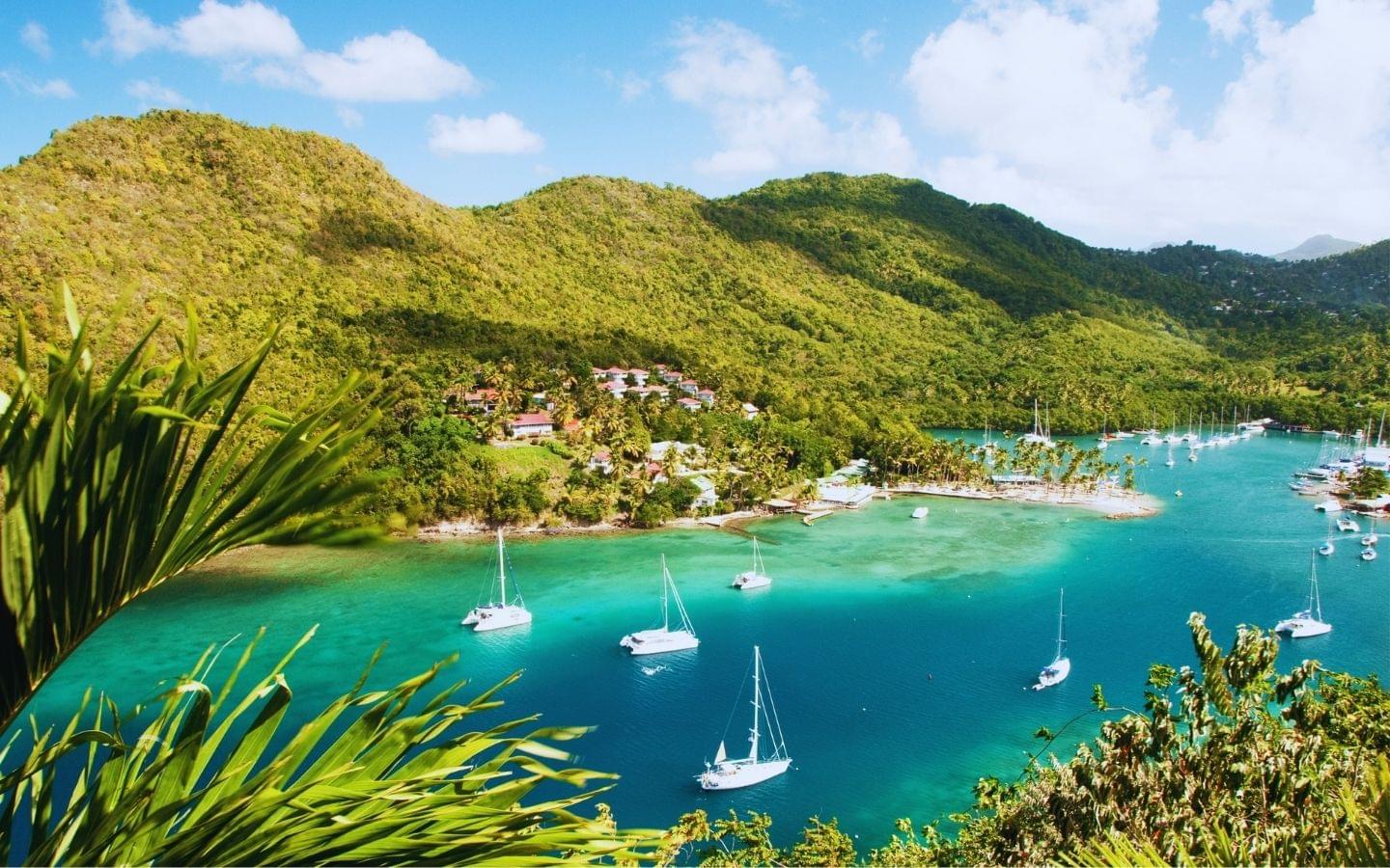
Carlisle Bay is the reason to snorkel in Barbados. It is a crescent bay on the doorstep of Bridgetown, inside the capital’s UNESCO World Heritage designation, and six vessels have been put on its floor over the last century — some deliberately, some not.
Almost everything written about the bay says the wrecks are “accessible to snorkelers”. That is true of half of them. Here is what is actually down there, with the depths that decide it:1
| Wreck | Depth | What it is | Snorkelable? |
|---|---|---|---|
| Berwyn | 7–10 ft | 70-ft French WWI tug, sunk 1919 | Yes — the best of them |
| Barge | 12 ft | Naval landing barge | Yes |
| Cornwallis | ~15 ft | Canadian freighter, torpedoed by a U-boat in WWII | Yes, in good light |
| Bajan Queen | 35 ft | Former tug Pelican, later a party boat, sunk 19 May 2002 | Shape only |
| Ce-Trek | 45 ft | Concrete-hulled boat, sunk January 1986 | No — scuba |
| Eillon | 55 ft | 110-ft drug-running boat, sunk 8 June 1996 | No — scuba |
The Berwyn is the one to swim to. It sits in shallow water with its structure just a few feet under the surface, it is thoroughly encrusted after a century down there, and it holds more fish than the rest of the bay combined. You can free-dive to it in one relaxed breath, and you can see it clearly without diving at all. If you snorkel one thing in Barbados, snorkel this.
The Barge and the Cornwallis are worth the extra swim in flat conditions. The remaining three are scuba sites, and no amount of enthusiasm changes that — from the surface the Eillon is a dark smudge 55 feet down.
Walk in or take the boat? The wrecks sit less than 200 meters off the sand, and Brownes Beach gives you the easiest entry, with public parking near the Bay Street Esplanade, day passes for loungers and freshwater showers, and lifeguards on the main swimming zones.2 If you are a confident swimmer, walk in. It is free, the water is flat, and you will have the Berwyn largely to yourself early in the morning.
Take the boat if any of three things is true: you are not a strong open-water swimmer, you want the deeper wrecks and turtles in one trip, or you are on a cruise call with four hours. Carlisle Bay is the approach to a working harbor and there is real boat and jet-ski traffic — motorised craft are confined to marked zones, but a snorkeler crossing open water in a busy bay is a small target.2 A 1.5-hour snorkel and shipwreck adventure covers the bay from a glass-bottom boat, which is also the answer for anyone in the group who does not want to get in.
Arrive before 09:00 on days when cruise ships are docked, or the parking is gone.2
Folkestone Marine Reserve
Folkestone, just north of Holetown, is the only legislated marine protected area in Barbados, established in 1981. It runs 2.1 km from just north of the Coral Reef Club Hotel to the southern edge of the Sandy Lane estate, and extends between 650 and 950 meters offshore.3
It is free. The park and beach are open 24 hours; only the museum and visitor center charge, at BDS$10 — about US$5 — open 09:00 to 17:00 Monday to Friday, closed at weekends and on public holidays.4 Facilities are unusually good for a free site: visitor center, snorkel rental, showers and changing rooms, picnic tables, a playground, tennis and basketball courts, car park, and both lifeguards and rangers on duty.3
The reserve is zoned, and knowing the zones is the difference between a good session and a frustrating one. A recreational zone inshore is where you snorkel and swim; a scientific research zone sits offshore beyond roughly 400 meters and is protected for study.4 Speedboats, jet skis and sailboats are confined to designated water sports zones, so the inshore water is genuinely quiet. Taking or touching coral or marine life is prohibited, as is fishing and anchoring on the reef.3
The inshore Bellairs fringing reef is the snorkeling. It is shallow, easy, and holds parrotfish, sergeant majors, filefish, sponges and soft corals. It is not dramatic, and after the bleaching it is less colorful than the older photographs suggest — but it is protected, patrolled, free and calm, which for a beginner or a family is a better combination than drama.
About the Stavronikita. Nearly every guide to Folkestone mentions it, and it is worth being straight: the Stavronikita is a 365-foot Greek freighter lying about 400 yards offshore, and it is a scuba site, not a snorkeling one.1 It is deep, it is a long way out, and you will see nothing useful from the surface. Do not plan your Folkestone visit around it. Take a boat excursion if you want to see the outer reserve properly, or dive it.
There are occasional currents on the outer edge of the recreational zone. A snorkel vest is worth having if you are not a confident swimmer — our picks are here.
Paynes Bay, Mullins and the quiet north-west
Paynes Bay is where you go for turtles. It is a calm, shallow west-coast bay just south of Sandy Lane, it rarely sees strong current or real waves, and hawksbill and green turtles feed on the seagrass beds there.2 It is the most reliable turtle encounter on the island from shore, and it is a genuinely easy swim — this is the site to take a nervous first-timer.
One thing to be aware of: many of the boat trips that stop here feed the turtles to guarantee an encounter, which is why a dozen turtles appear the moment a catamaran drops anchor. Barbados turtles are protected and the standing advice is not to touch them.2 Keep your distance, do not chase, and if you swim out from the beach in the early morning you will usually find them working the seagrass on their own terms, which is the better experience anyway.
Paynes Bay gets busy. Go first thing for both visibility and space.
Mullins Bay is the liveliest of the northern beaches, with bars and restaurants along it and good shallow snorkeling over rock and reef patches at either end.
Gibbes Beach, next along, is one of the quietest stretches on the island — tree-lined, calm, clear, with needlefish, flounder and small reef fish over the shallows. There are no facilities at all, which is precisely why it is empty; Mullins is a short walk away when you want a drink.
Heywoods Beach, near Speightstown, is a long, near-deserted beach with shallow coral, rocky patches and tide pools close in. Free parking beside it and almost nothing else, so bring water, shade and your own gear. For a snorkel with nobody else in the water, this is the pick.
None of these three is the best snorkeling on the island. All are calm, shallow, shore-entry sites where the appeal is having the water to yourself.
Dover Beach and the south coast
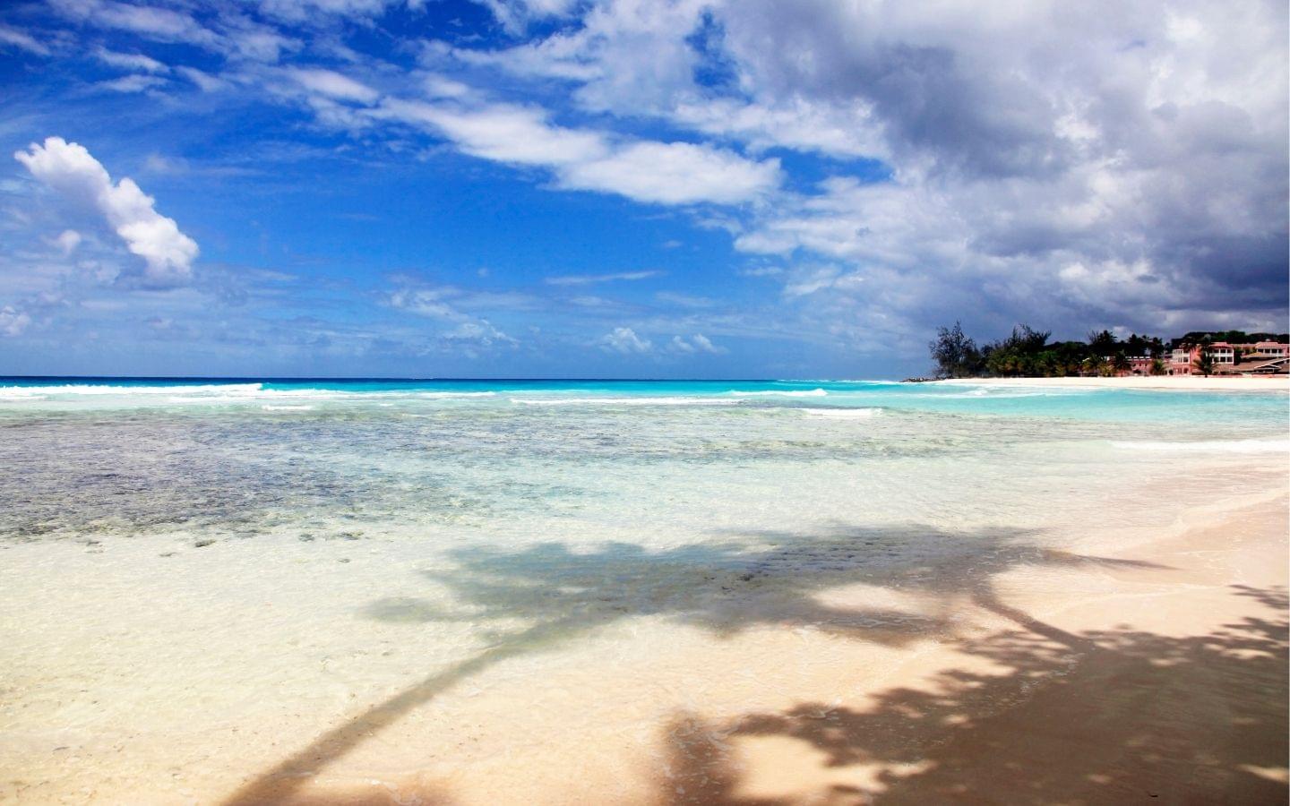
Dover Beach, in St Lawrence Gap, is the south coast’s best all-rounder. It gets more wind and bigger waves than the west coast but no dangerous current, which makes it a good base if you want to combine snorkeling with surfing, windsurfing or bodyboarding, and it is a decent turtle beach.
The snorkeling is second-tier — the chop cuts visibility and the reef is patchy. What Dover offers is everything else: lifeguards, rentals, bars, buses, and the cheapest beachfront accommodation on the island. Stay here, snorkel on calm mornings, and drive to the west coast on the days you are serious about it. Oistins, ten minutes along, runs its Fish Fry on Friday and Saturday nights and is worth the trip regardless of what the water is doing.
Sargassum, and when it lands
This is the part no older guide to Barbados will tell you, and it now matters more than any individual site on this page.
Sargassum is a free-floating brown seaweed that drifts west across the Atlantic in vast mats and piles up on windward shores, where it rots and smells of sulphur. Barbados is the easternmost island in the Lesser Antilles, which means it intercepts the drift before anywhere else.
The pattern. It builds through late winter and spring, runs heaviest from roughly April through August, and eases through the autumn. It lands on the east and south-east coasts — the Atlantic side. The west coast is sheltered and stays largely clear. The University of South Florida’s Optical Oceanography Lab, which tracks the whole Atlantic belt by satellite, consistently reports beaching on “the windward side” of the Lesser Antilles.5 Regional island-scale forecasts are issued by CERMES at the University of the West Indies’ Cave Hill campus in Barbados itself, and are the best three-month outlook available.6
The recent record is the thing to understand. The last two years have been the two largest in the satellite record. In June 2026 the eastern Caribbean held 9.0 million tonnes — a record for that month — with the whole Atlantic belt at 33.6 million tonnes, only about 10% below the all-time record set in 2025.5 February 2026 was also a record for its month, at 8.1 million tonnes in the eastern Caribbean.7 The USF outlook expects beaching around the Caribbean to continue and increase.5
What this means for your trip. Book the west coast. In a heavy year the difference between Paynes Bay and Bathsheba is the difference between clear water and a shoreline you cannot enter. Traveling between April and August, treat any east or south-east beach as a scenic stop rather than a swim, and check a current bulletin the week before you fly — the belt moves.
None of this is a reason not to go. It is a reason to put your hotel on the correct side of a 14-mile-wide island.
What the reef looks like after the bleaching
Barbados sat inside the worst coral bleaching event on record. Caribbean sea temperatures ran 1–3 °C above normal from March 2023, and in April 2024 NOAA and the International Coral Reef Initiative confirmed the fourth global bleaching event.8 Barbados was directly affected: the Fisheries Division issued a coral bleaching alert on 12 October 2023, and survey reports were filed from Folkestone Marine Reserve and from the Bajan Queen reef that autumn.9 Stony coral tissue loss disease has since been recorded on Barbadian reefs as well, with survivor corals still holding on at monitored sites into 2025.9
The practical read for a snorkeler: expect less color in the hard coral than the brochure photographs show, and expect the fish life to be broadly intact. Reef fish populations were not what the heat killed. This is also the strongest argument for Carlisle Bay — a hundred-year-old steel wreck full of sponges and fish is not a coral reef and did not bleach.
When to go, month by month
Barbados works year-round. Sea temperatures sit between 79 and 84 °F all year, the island averages around 3,000 hours of sunshine, and daily highs run near 86 °F.10 Hurricanes rarely strike it — the island sits south and east of most tracks — though the season runs June to November across the region.
| Months | Sea | Sargassum, Atlantic coasts | Crowds and prices |
|---|---|---|---|
| Dec–Mar | 79–80 °F | Low, building through Feb | Peak season, highest prices |
| Apr | ~80 °F | Rising sharply | Peak until mid-month |
| May–Jun | 81–82 °F | Heaviest | Low — the value window |
| Jul–Aug | 83–84 °F | Heaviest | Moderate, family season |
| Sep–Oct | ~84 °F | Easing | Lowest of the year |
| Nov | ~82 °F | Low | Low, rising late |
The best month to snorkel Barbados is a toss-up between February and October. February gives you the calmest west-coast water, the clearest visibility and the least seaweed, at peak prices. October gives you the warmest water, the emptiest beaches and roughly half the room rate, with a slightly higher chance of rain and the tail of hurricane season.
If price is not the constraint, come in February. If it is, come in October — it is the best-value snorkeling month on the island by a distance.
Mid-May to August is the window to think hardest about. The water is warm and the island is cheap, but it is peak Sargassum, and in a year like 2025 or 2026 that is a real constraint on where you can swim.
Where to stay
Stay on the west coast if snorkeling is the point of the trip, and on the south coast if it is one of several things you want to do. Both are sheltered from the Sargassum that hits the Atlantic side, and both put you within a half-hour drive of Carlisle Bay.
Infinity on the Beach is the value pick — one of the more affordable beachfront properties on the island, right on Dover Beach in St Lawrence Gap, with the bars and buses on the doorstep. One Battaleys Mews is the west-coast equivalent, near Mullins and Gibbes and a short drive from Folkestone.
At the top end, Colony Club, a Luxury Collection Resort sits next to Folkestone Marine Reserve, which makes it the single best-placed hotel on the island for a snorkeler — you can walk to the reserve. The Fairmont Royal Pavilion, a little further north at Porters with 72 oceanfront rooms, is the other Platinum Coast option. Both provide snorkeling gear and non-motorised watersports equipment to guests.
Villas and vacation rentals are widely available on both coasts and often beat the resorts on price for a family.
If you would rather cover several sites in one day than swim from one beach, the half-day catamaran snorkel cruise from Bridgetown runs the west coast with a stop at Carlisle Bay, and is also available as a private departure taking in Folkestone. For the wrecks and turtles on a short window, take the glass-bottom boat trip in Carlisle Bay instead.
What to bring
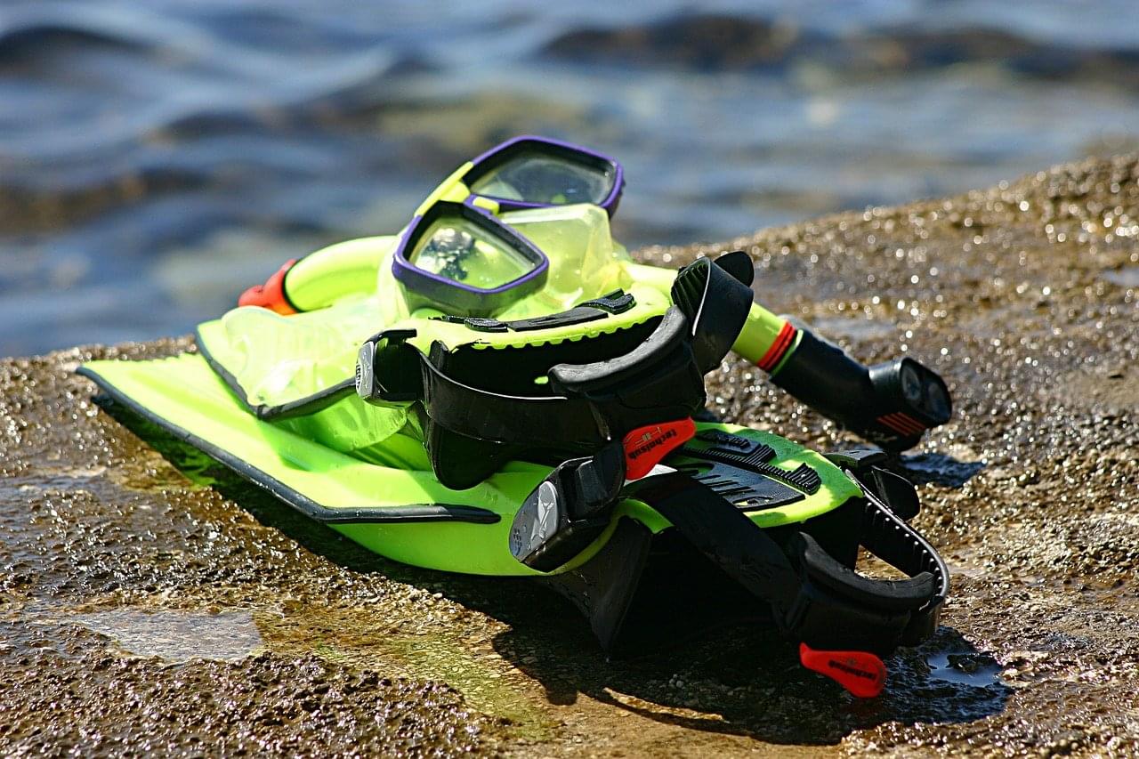
Rental gear is available at Folkestone and most west-coast beaches, but a mask that fits your own face is worth more than any other piece of kit — a leaking rental mask ruins a session. Our guide to the best travel snorkel gear covers sets that pack down for a suitcase.
Beyond the mask and snorkel: fins, a rash guard for the sun rather than the cold, reef-safe sunscreen, and a snorkel vest if anyone in the group is a weak swimmer. The water is warm enough year-round that no wetsuit is needed — see what to wear snorkeling for the full list. Bring a dive float or surface marker for Carlisle Bay if you own one, because of the boat traffic.
Resources
Footnotes
-
“Shipwreck Diving in Barbados.” Barbados Blue Watersports, accessed 31 July 2026. https://www.divebarbadosblue.com/scuba-diving/barbados-dive-sites/shipwreck-diving/. ↩ ↩2
-
“Carlisle Bay Beach, Barbados.” Carlisle Bay Barbados, accessed 31 July 2026. https://carlislebaybarbados.org/. ↩ ↩2 ↩3 ↩4 ↩5
-
“About the Folkestone Marine Reserve.” National Conservation Commission, Barbados, accessed 31 July 2026. https://www.nccbarbados.com/about-the-folkestone-marine-reserve/. ↩ ↩2 ↩3
-
“Folkestone Marine Park.” Folkestone Marine Park Barbados, accessed 31 July 2026. https://folkestonemarinepark.com/. ↩ ↩2
-
“Outlook of 2026 Sargassum blooms: a perspective for the Caribbean Sea and Gulf of America.” University of South Florida Optical Oceanography Lab, 30 June 2026. https://optics.marine.usf.edu/projects/SaWS/pdf/Sargassum_outlook_2026_bulletin06_USF.pdf. ↩ ↩2 ↩3
-
“Sargassum Sub-regional Outlook Bulletin.” Centre for Resource Management and Environmental Studies (CERMES), The University of the West Indies, Cave Hill, Barbados, accessed 31 July 2026. https://sargassum-outlook.web.app/. ↩
-
“Outlook of 2026 Sargassum blooms.” University of South Florida Optical Oceanography Lab, 28 February 2026. https://optics.marine.usf.edu/projects/SaWS/pdf/Sargassum_outlook_2026_bulletin02_USF.pdf. ↩
-
“NOAA confirms 4th global coral bleaching event.” National Oceanic and Atmospheric Administration, 15 April 2024. https://www.noaa.gov/news-release/noaa-confirms-4th-global-coral-bleaching-event. ↩
-
“Coral Bleaching.” Barbados Fringing Reefs & Seagrass Beds, accessed 31 July 2026. https://versicolor.ca/barbados/lit-links/coral-bleaching/. ↩ ↩2
-
“Weather.” Barbados Tourist Board, accessed 31 July 2026. https://www.visitbarbados.org/plan-your-trip/weather. ↩

Jon Persson — Co-founder, OutsiderView
Jon lives in Greece, on the Aegean Sea, and co-runs OutsiderView. He writes from a traveler's and a beginner's point of view rather than an expert's.