Snorkeling
Turks and Caicos Snorkeling: Best Spots, From Shore or by Boat
The best reef in Turks and Caicos is a short boat ride out, but two good reefs on Provo start right at the sand. Where each spot is, how to get there, when the sea is calm, what trips cost and the rules to know.
We earn a commission on purchases made through links on this page, at no extra cost to you. It never affects which products we recommend.
On this page
- Where is the best snorkeling in Turks and Caicos?
- Smith’s Reef: the best reef you can swim to
- The Bight Reef (Coral Gardens): the easy one
- Malcolm’s Road Beach: the wall from shore, with a warning
- The boat trips from Provo
- What snorkeling costs in Turks and Caicos
- Grand Turk: Gibbs Cay and the beach spots
- When to go
- How healthy is the reef?
- The rules
- What to bring
- Frequently asked questions
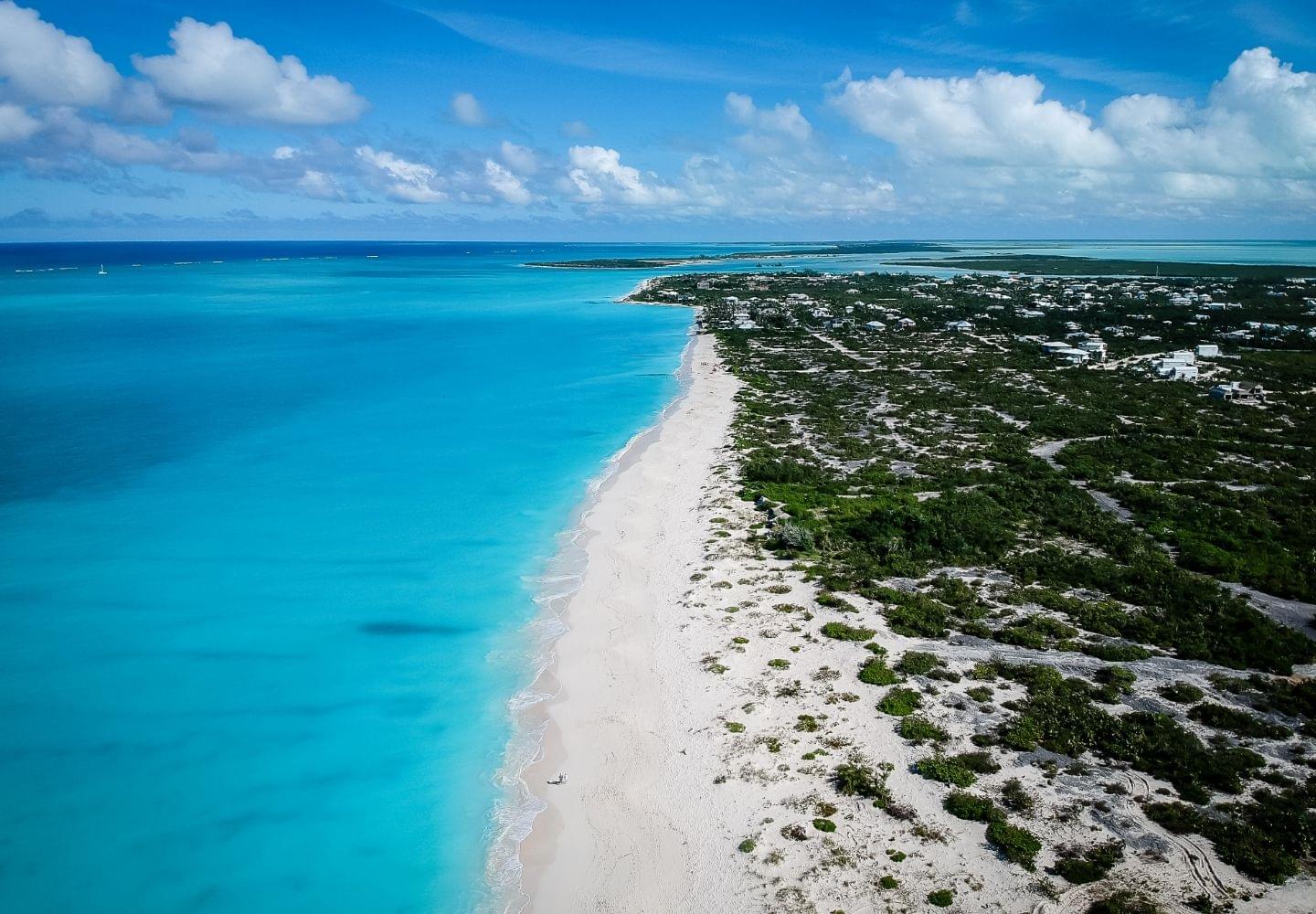
Turks and Caicos has great snorkeling, but most of it is a boat ride from shore. The islands have about 340 miles of barrier reef.1 From the beach, you can swim to two good reefs on Provo. They are Smith’s Reef and the Bight Reef, also called Coral Gardens. For the big reef, the walls, and the sharks and rays, you need a boat.
I worked charter boats in Key West for over ten years. The same rule holds here. The beach reef is where you warm up, and the boat takes you to the good stuff. Plan one beach morning and one boat day, and you will have seen the best of it.
Where is the best snorkeling in Turks and Caicos?
Nearly everyone stays on Providenciales, which locals call Provo. Every boat trip below leaves from there, except Gibbs Cay. That one is off Grand Turk, a short flight away and a big cruise stop.
| Spot | Island | How you get in | Best for |
|---|---|---|---|
| Smith’s Reef | Provo | From the beach | The best coral you can swim to |
| Bight Reef (Coral Gardens) | Provo | From the beach | An easy first swim, kids |
| Malcolm’s Road Beach | Provo | From the beach, long swim | Strong swimmers who want the wall |
| Leeward Reef | Off Provo | Boat, a short ride | The most popular boat stop |
| Half Moon Bay | Off Provo | Boat or kayak | Calm, shallow water and iguanas |
| West Caicos | Empty island | Boat, about 45 minutes | Clear water, cliffs and caves |
| French Cay | Tiny island | Full-day boat | Sharks, rays and bright coral |
| Gibbs Cay | Off Grand Turk | Boat | Stingrays |
| Boaby Rock Point | Grand Turk | From the beach | Grand Turk’s best beach spot |
Smith’s Reef: the best reef you can swim to
Smith’s Reef has healthier coral and sponges than the other easy beach reefs on Provo.2 It sits just west of Turtle Cove Marina, inside Princess Alexandra National Park. Three public beach paths lead to it. Each one puts you on a different part of the reef.
- West path. The best reef. The two reefs near shore have lots of fish but dull coral. The good part is across a channel about 100 feet wide and 18 feet deep. That is a real swim over deep water.
- Middle path. Two shallow reefs with seagrass in between. Look here for stingrays, turtles and big parrotfish.
- East path. Small coral heads in shallow water, close to shore. This is the one for kids.
Watch for two things. A current sometimes runs along the beach. If it pulls you, swim toward shore, not against it.2 And stay out of the Turtle Cove channel and away from the rock jetty. Boats use that channel all day. A captain coming in is watching the markers and the boat ahead, not looking for a snorkel. There is no lifeguard.
There are no buoys or markers on the reef, so it can be hard to find. Swim out and look for dark patches on the sand below.
The Bight Reef (Coral Gardens): the easy one
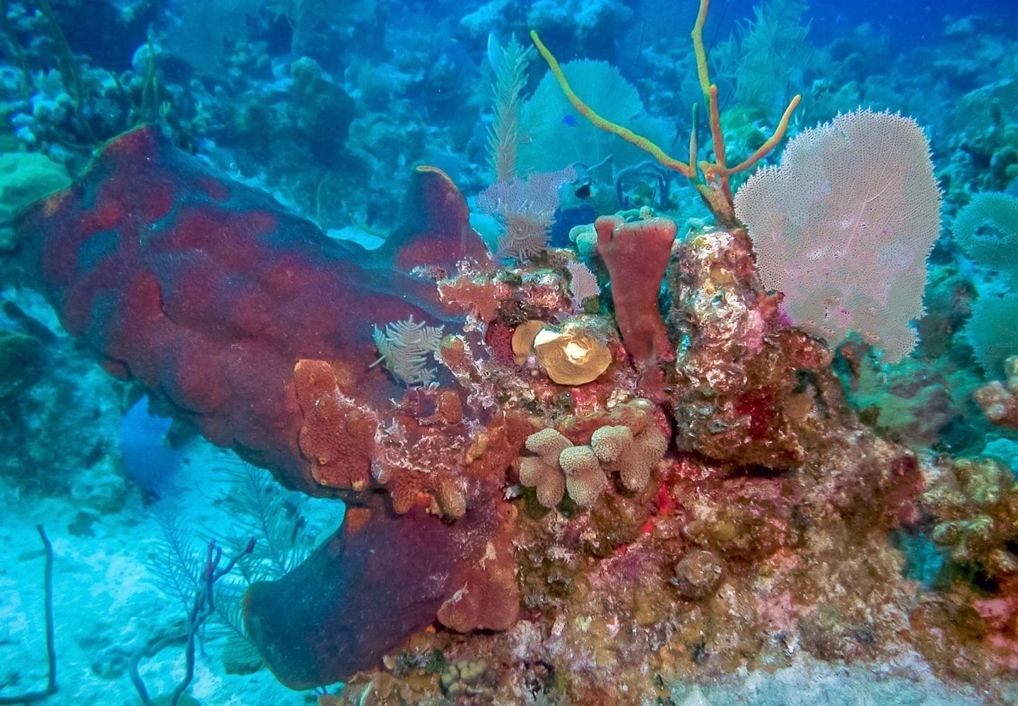
The Bight Reef is the most popular snorkel spot on Provo, and the easiest. It is one ridge of coral that runs about 350 feet out from the beach. At the far end the water is 15 to 20 feet deep.3 You can’t get lost on it.
The coral has faded over the last 20 years. Snorkelers standing on it, mud from dredging and boat traffic all hurt it.3 It is not as bright as Smith’s Reef. You will still see turtles, stingrays and parrotfish, and eagle rays on a good day.
Stay out of the buoy circle. Some old guides call it an underwater trail. It is not. The ring of buoys and rope marks a no-swim zone that protects the best coral.3
How to get there. Two public paths lead to the beach off Lower Bight Road, between Grace Bay and Turtle Cove. One is the Coral Gardens Beach Access on Penn’s Road. The other is on Stubb’s Road, a bit to the east, and it is often less busy. Parking is free on both roads.3 The park signs are easy to miss, so look for the Coral Gardens and Windsong resort signs. There is no lifeguard.
Go early or late in the day to see lobsters and other shy animals. The midday sun lights up the reef best.3
This is the place for kids and nervous swimmers. The reef starts near shore, in shallow water. Good snorkel gear for kids makes the first swim far easier. If someone in your group can’t swim well, read how to snorkel if you can’t swim first.
If you want to walk from your room to this reef, Windsong on the Reef sits right beside it. Its free water sports gear does not include snorkel sets. You rent those, or better, bring your own.
Malcolm’s Road Beach: the wall from shore, with a warning
Malcolm’s Road Beach is on Provo’s wild west coast. It is the one beach where you can swim out toward the wall, where the sea floor drops into deep blue water. Good reef starts about 500 to 700 feet out. The wall is about 1,600 feet out.4 On a calm day, this is the clearest water you will find from any beach here.
It is not a site for beginners, and it has a crime problem. There have been armed robberies against people at the beaches in this area.4 Go in a group and go in the morning. Leave your valuables at the hotel. Help is far away if something goes wrong.
The road is three miles of dirt. A 4x4 is best, but a small rental car can make it if you go slow.4 There is a pavilion and paved parking at the beach. The swim out is long, so wear a snorkel vest or a life jacket even if you swim well.
Flamingo Creek Bay, down a rough track nearby, has two reefs close to shore with thick coral and sea fans. It carries the same crime warning, and the track needs a high 4x4.
Amanyara is the resort at the south end of Malcolm’s Road. It runs its own guided snorkel trips and boat charters, which is the easy way to see this coast.
The boat trips from Provo
A boat day is where snorkeling here gets great. The water is clearer, the coral is in better shape, and you see bigger animals. Trips leave from Grace Bay, the Bight and Turtle Cove, and many pick you up at your hotel. Snorkel gear is almost always included.5
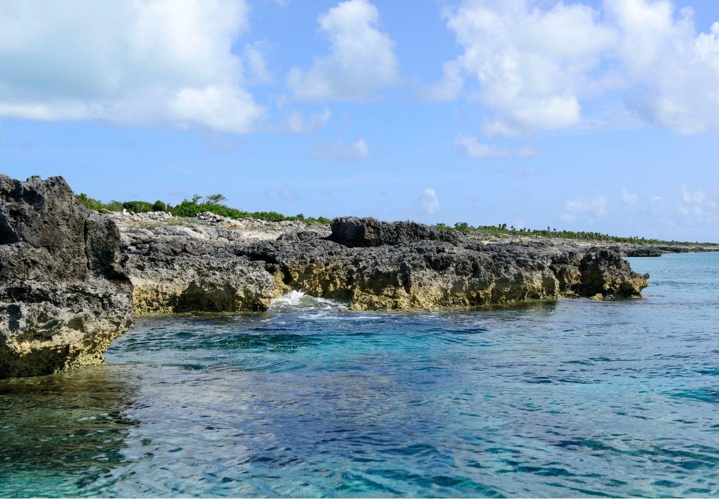
Leeward Reef. This is the most popular boat stop in the country. It sits by Leeward Cut on the north side of Provo, too far out to swim to. You see sea fans, gullies, turtles, nurse sharks and eagle rays. Most half-day trips stop here or on the reef off Grace Bay.
Half Moon Bay and Little Water Cay. Calm, shallow water just off the east end of Provo. You can get there by kayak, paddleboard or a short boat ride. Little Water Cay is home to rock iguanas found nowhere else. The National Trust runs it, and it is the one place you pay to get in. It costs $20 for the short tour, $25 for the long one, or $10 for Half Moon Bay. The eco tour goes here.
West Caicos. An empty island about 45 minutes west by boat. Its marine park has low cliffs, small caves and shallow coves. Just off the coast, the reef drops away down a wall.
French Cay. A tiny island 18 miles south of Provo, on the south wall of the reef. The coral is brighter here, and this is the shark stop. Gray reef sharks are the most common. In June and July, lots of nurse sharks gather in the shallows to mate. They feed on the bottom and leave people alone. You can snorkel all around the island, but you may not step onto it without a permit.
Big Blue’s full-day Edge of the Banks trip goes to French Cay, West Caicos or the west side of Provo, whichever the weather allows. You book it with Big Blue directly. For half a day, the sail and snorkel tour leaves from Grace Bay. To choose your own spots, book a private half-day charter.
What snorkeling costs in Turks and Caicos
| What | Price |
|---|---|
| Snorkeling from a public beach | Free |
| Shared half-day boat trip, Provo | About $125 to $140 per adult, kids about half |
| Full day to French Cay or West Caicos | Close to $300 per adult |
| Private boat, four hours | $1,000 to $1,500 for the group |
| Gibbs Cay stingray trip, Grand Turk | About $85 to $115 |
| Little Water Cay entry | $10 to $25 |
Watch the fine print. Some prices include the 12% tourism tax and some don’t, and tips are extra.5 Caicos Dream Tours, for one, charges $135 for adults and $67.50 for kids 3 to 10. That buys four hours with gear, drinks and pickup from Grace Bay hotels.
After ten years in the charter trade, these are the questions I would ask before paying for a boat:
- How many people will be on it? A small group gets more time and more help in the water.
- Where do you go when it’s windy? A good crew has a plan for a rough day. A crew with one spot does not.
- How long will I be in the water? Ask for snorkel time, not trip time. A four-hour trip can mean one hour in the water.
- Is there a morning trip? On trade-wind islands the breeze tends to build after lunch. The morning boat often gets the flatter water.
Grand Turk: Gibbs Cay and the beach spots
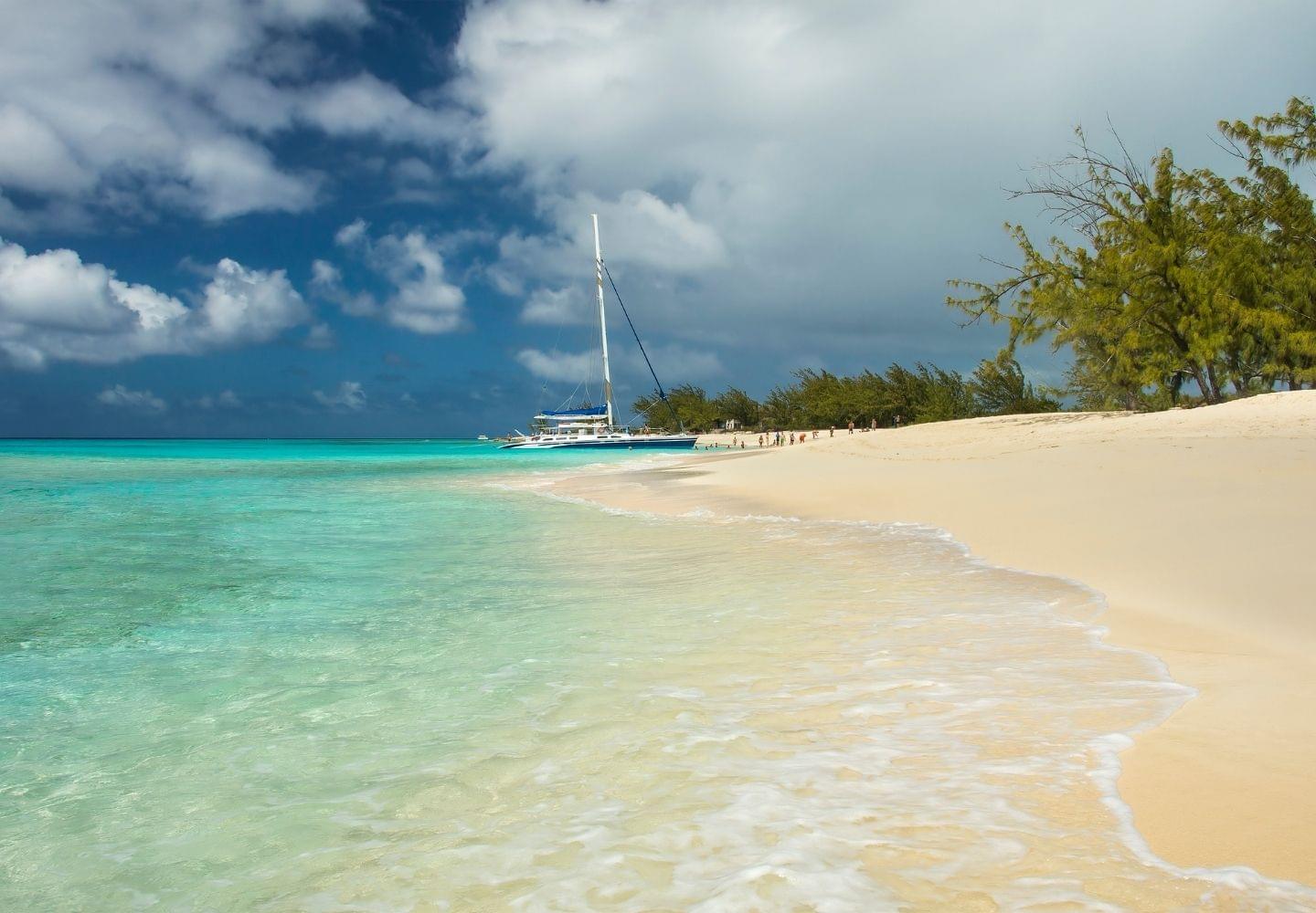
Grand Turk’s best snorkel trip is Gibbs Cay, a small island about a mile off the east coast. Southern stingrays swim right up to the boats in the shallows.6 Most tours give you about 30 minutes in the water. They leave from the cruise center or from Cockburn Town. The Supreme Snorkeling tour adds a reef stop and a stretch of the wall.
Two rules matter here. Do not feed the rays, and do not lift one out of the water. Both are against the law, with big fines and even jail time.6 Some cruise tours still sell holding and kissing the rays. Say no. Rays live here on their own, but years of illegal feeding by some guides drew in more.6
From the beach, Grand Turk’s best spot is Boaby Rock Point on the east coast. It has seagrass, fish, coral and sea fans in shallow water, but it can be choppy. Governor’s Beach is the easy, popular one, with less to see. The best reefs are just too far out and too deep to swim to, so take a boat.
When to go
The calmest water runs from May through September. December to April is windier, with bigger swells.7 That is also high season, when rooms cost 30% to 50% more.
Hurricane season runs from June through November. The riskiest stretch is mid-August through September.7
For snorkeling, May and June are the best months. The sea is calm, and the worst storm weeks are still ahead. Winter still works, but expect chop on the beach reefs and more days when boats change plans. If calm water in winter matters most, see where to snorkel in winter.
| Months | The sea | For snorkeling |
|---|---|---|
| December to April | Windiest, bigger swells | Good on calm days. Beach reefs get stirred up |
| May and June | Calm | The best time of year |
| July and August | Calm | Good, but storm risk climbs from mid-August |
| September and October | Calm | Peak storm risk in September. Hot water can bleach coral |
| November | Winds start to pick up | Lower prices as storm season ends |
The water is 79°F to 85°F all year.7 You won’t need a wetsuit. A long-sleeve rash guard for the sun is more useful. Our guide to what to wear snorkeling covers the rest.
How healthy is the reef?
The reef has had a rough few years. A coral disease called stony coral tissue loss disease reached the islands in 2019. It kills the big brain and boulder corals that build the reef. On one South Caicos reef, living coral fell by 62% between the years before the disease and 2020.8 Then the 2023 to 2024 heat wave bleached reefs across the islands, turning coral white.8
2026 is another hot year. By mid-September, the islands had reached NOAA’s Bleaching Alert Level 2. At that level many corals bleach, and some die.9 If you go this fall, expect to see some white coral.
The fish, turtles and rays are still here in good numbers. Your part is simple. Don’t touch or stand on the coral. Snorkelers doing that are one reason the Bight Reef faded.
The rules
There is no fee to snorkel from a public beach. Most of the snorkeling on Provo is inside Princess Alexandra National Park. It covers Grace Bay, the Bight Reef, Smith’s Reef and the reef offshore.10 Gibbs Cay is in a national park too.
- Don’t touch, stand on or feed anything.
- Don’t take shells, coral, sand or animals.
- No fishing, and no taking conch or lobster.
- Use mineral sunscreen, the kind made with zinc oxide or titanium dioxide. Or cover up with a rash guard.
- Stay out of the buoy circle at the Bight Reef.
- Don’t land on French Cay without a permit.
Breaking these rules can mean large fines and even jail time.10 No law bans other sunscreens here yet, but the park rules ask for mineral ones, and a shirt beats both.
What to bring
Bring your own mask. Rental masks often leak. When the good reef is a long swim out, a leaky mask ruins the morning. Our guide to the best travel snorkel sets covers gear that packs small.
Still choosing an island? See the best snorkeling in the Caribbean. Snorkeling in the Bahamas is the closest match, with the same shallow banks and clear water.
Frequently asked questions
Is Turks and Caicos good for snorkeling?
Yes, but the best of it is from a boat. The islands sit on one of the biggest reef systems in the Atlantic, and the water is clear most of the year. From the beach you get two small reefs on Provo. The big reef, the walls and the sharks are a short boat ride out.
What month should you avoid for snorkeling in Turks and Caicos?
September. It is the peak of hurricane season, and it is the month trips get canceled most. In 2026 the sea also got hot enough by September to bleach coral. Winter is safe but windy. For calm water and less storm risk, go in May or June.
Can you snorkel in Turks and Caicos without a tour?
Yes. Smith's Reef and the Bight Reef on Provo are free, with public paths and free parking. Start with those. Malcolm's Road Beach reaches the wall from shore, but it is for strong swimmers only, and robbers have hit people there. On Grand Turk, try Boaby Rock Point.
How much is a snorkel trip in Turks and Caicos?
A shared half-day boat on Provo costs about $125 to $140 per adult. Kids pay about half. A full day to French Cay or West Caicos runs close to $300. A private boat for four hours is $1,000 to $1,500 for the whole group.
Do you have to pay a park fee to snorkel?
No. Swimming out from a public beach is free, even inside a national park. The one gate fee you may meet is at Little Water Cay, run by the National Trust. It is $10 for Half Moon Bay or $20 for the short iguana tour. Many boat trips include it.
Resources
Footnotes
-
Visit Turks and Caicos Islands, “The Turks and Caicos Barrier Reef,” last reviewed 24 July 2026, visittci.com. ↩
-
Visit Turks and Caicos Islands, “Smith’s Reef, Providenciales,” last reviewed 8 September 2026, visittci.com. ↩ ↩2
-
Visit Turks and Caicos Islands, “The Bight Reef (Coral Gardens), Providenciales,” last reviewed 25 September 2026, visittci.com. ↩ ↩2 ↩3 ↩4 ↩5
-
Visit Turks and Caicos Islands, “Malcolm’s Road Beach, Providenciales,” last reviewed 1 September 2026, visittci.com. ↩ ↩2 ↩3
-
Visit Turks and Caicos Islands, “Snorkeling Charters and Cruises,” last reviewed 21 August 2026, visittci.com; “Vacation Prices,” visittci.com. ↩ ↩2
-
Visit Turks and Caicos Islands, “Gibbs Cay, Grand Turk,” last reviewed 27 August 2026, visittci.com. ↩ ↩2 ↩3
-
Visit Turks and Caicos Islands, “Best Times to Visit the Turks and Caicos,” last reviewed 24 August 2026, visittci.com. ↩ ↩2 ↩3
-
Heres et al., “Ecological consequences of Stony Coral Tissue Loss Disease in the Turks and Caicos Islands,” Coral Reefs, 2021, Springer; TCI Reef Fund. ↩ ↩2
-
NOAA Coral Reef Watch, “5 km Virtual Station: Turks and Caicos,” data to 25 September 2026, coralreefwatch.noaa.gov. ↩
-
Visit Turks and Caicos Islands, “Princess Alexandra National Park,” last reviewed 25 September 2026, visittci.com. ↩ ↩2
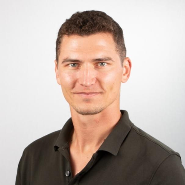
Nick Brisson — Co-founder, OutsiderView
Nick was born in Florida and grew up in Puerto Rico. He spent over ten years in Key West working in the boat charter industry, put four to five years into snorkeling and spearfishing the Florida Keys reef, and lives in Jacksonville Beach now, where he surfs year-round.